

Mastering NSTA Infrastructure Reporting: ArcGIS Pro Best Practice
Exprodat
MARCH 3, 2025
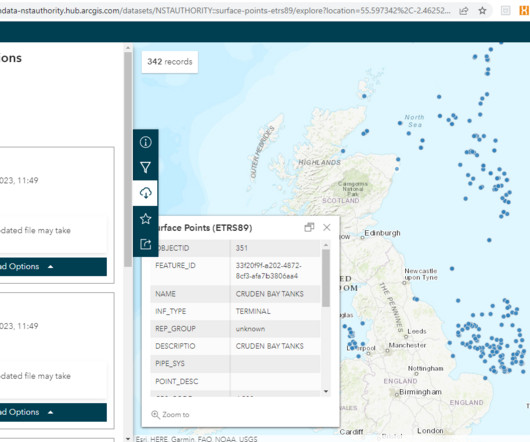
Knowing what infrastructure is present, where, what it is called, who owns it and its operational status creates a system of record for the NSTA, North Sea operators and other interested parties. At the last reporting cycle (Oct 2024), the offshore infrastructure data consisted of six datasets: Surface points – platforms, FPSOs, etc.


Let's personalize your content