

Mastering NSTA Infrastructure Reporting: ArcGIS Pro Best Practice
Exprodat
MARCH 3, 2025
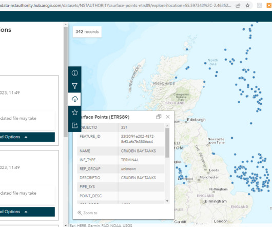
You can download the data in a variety of formats (shapefile, KML, GeoJSON). Figure: NSTA Open Data site for downloading infrastructure data. The existing datasets are on the NSTA Open Data Centre. Note that the data are available in one of three geographic coordinate systems: using either WGS84, ED50 or ETRS89 datums.


Let's personalize your content