

Mastering NSTA Infrastructure Reporting: ArcGIS Pro Best Practice
Exprodat
MARCH 3, 2025
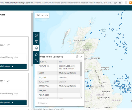
You can download the data in a variety of formats (shapefile, KML, GeoJSON). Figure: NSTA Open Data site for downloading infrastructure data. Even simple tools like the Data Engineering function in ArcGIS Pro can help to quickly summarise data attributes and identify gaps in mandatory attributes. Where to go next?


Let's personalize your content