

Mastering NSTA Infrastructure Reporting: ArcGIS Pro Best Practice
Exprodat
MARCH 3, 2025
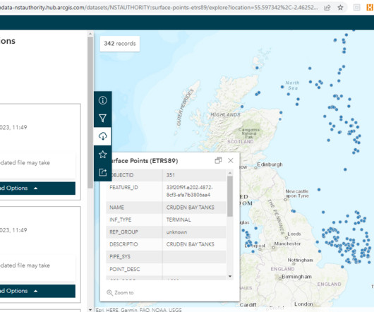
Knowing what infrastructure is present, where, what it is called, who owns it and its operational status creates a system of record for the NSTA, North Sea operators and other interested parties. Since late 2021, the data previously provided in tabular format now has to be submitted in a spatial format.


Let's personalize your content