

Mastering NSTA Infrastructure Reporting: ArcGIS Pro Best Practice
Exprodat
MARCH 3, 2025
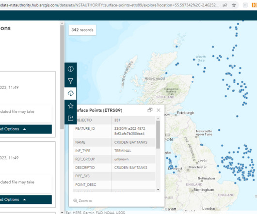
Since late 2021, the data previously provided in tabular format now has to be submitted in a spatial format. At the last reporting cycle (Oct 2024), the offshore infrastructure data consisted of six datasets: Surface points – platforms, FPSOs, etc. What do you need to submit? So, what needs to be submitted?


Let's personalize your content