

Mastering NSTA Infrastructure Reporting: ArcGIS Pro Best Practice
Exprodat
MARCH 3, 2025
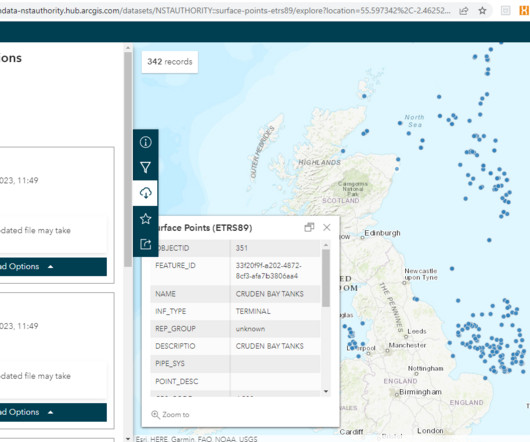
Since late 2021, the data previously provided in tabular format now has to be submitted in a spatial format. Essentially, this is the kit which sits on the seabed, undersea and at surface – be it pipelines, cables, SSIVs, platforms. Figure: Data Engineering tool in ArcGIS Pro to review attributes presence.


Let's personalize your content