Remove 2021 Remove Consulting Remove Offshore
article thumbnail

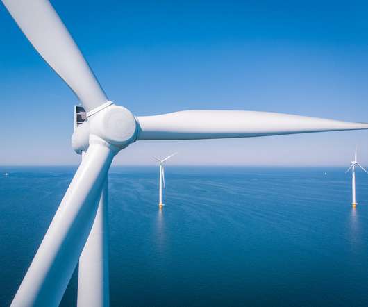
Court Dismisses Permitting Challenges to the U.S.’s First Major Offshore Wind Project

The Energy Law

On May 17, 2023, the United States District Court for the District of Massachusetts dismissed plaintiffs’ challenges to the Vineyard Wind Project—the United States’s first major offshore wind project. Multiple environmental impact statements and ESA consultations have a occurred in conjunction with the project.

article thumbnail

BOEM Overview of Proposed Gulf of Mexico Offshore Wind Areas and Draft Environmental Assessment

The Energy Law

The first two meetings were held on June 15, 2021 , and February 2, 2022 , respectively. As to the leases themselves, BOEM is currently developing GOM-specific lease stipulations and standard operating conditions through regulations and ongoing consultations with appropriate resource agencies. Following Ms.

Insiders

Sign Up for our Newsletter

This site is protected by reCAPTCHA and the Google Privacy Policy and Terms of Service apply.

article thumbnail

Wind Energy Development in the Gulf of Mexico

The Energy Law

This is the first in a series of articles in which Liskow’s offshore team will discuss the regulatory framework for wind energy projects in federal waters and highlight legal issues pertinent to this dynamic area. To date, the development of offshore wind in federal waters has largely been limited to the east coast. federal waters.

Energy 98
article thumbnail

Mastering NSTA Infrastructure Reporting: ArcGIS Pro Best Practice

Exprodat

Since late 2021, the data previously provided in tabular format now has to be submitted in a spatial format. This also helps to manage competing interests in the North Sea – what one of our GIS Strategy consultants dubbed seabed sudoku (see example ). What do you need to submit? So, what needs to be submitted?